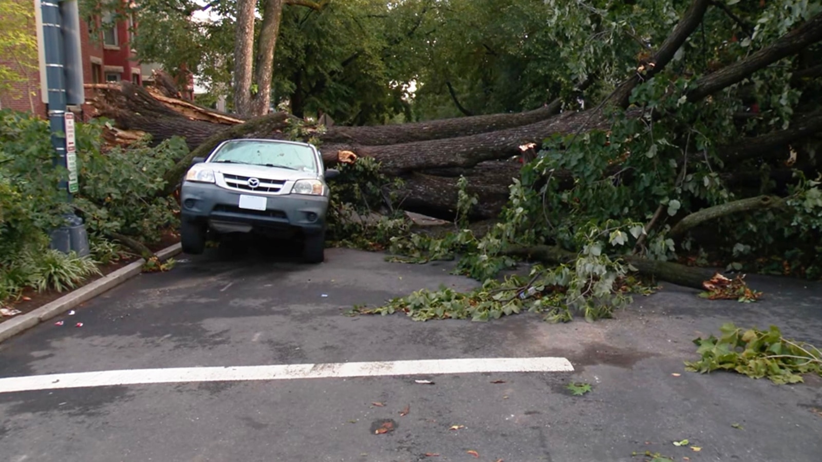
Nor'easter brings strong winds, coastal flooding and high waves to East Coast
asserted
Nor'easter → bring → Coast
The early-season nor’easter expected to arrive over the weekend is currently situated about 200 miles east of the Delmarva Peninsula and continues to slowly move north on Saturday morning.
asserted
nor’easter → expect → morning
Late Friday night, a weather station in Surf City, New Jersey, reported a wind gust of 74 mph.
asserted
station → report → mph
Other stations along the Jersey Shore have reported wind gusts of 60 mph or more.
asserted
stations → report → mph
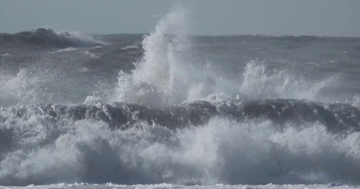
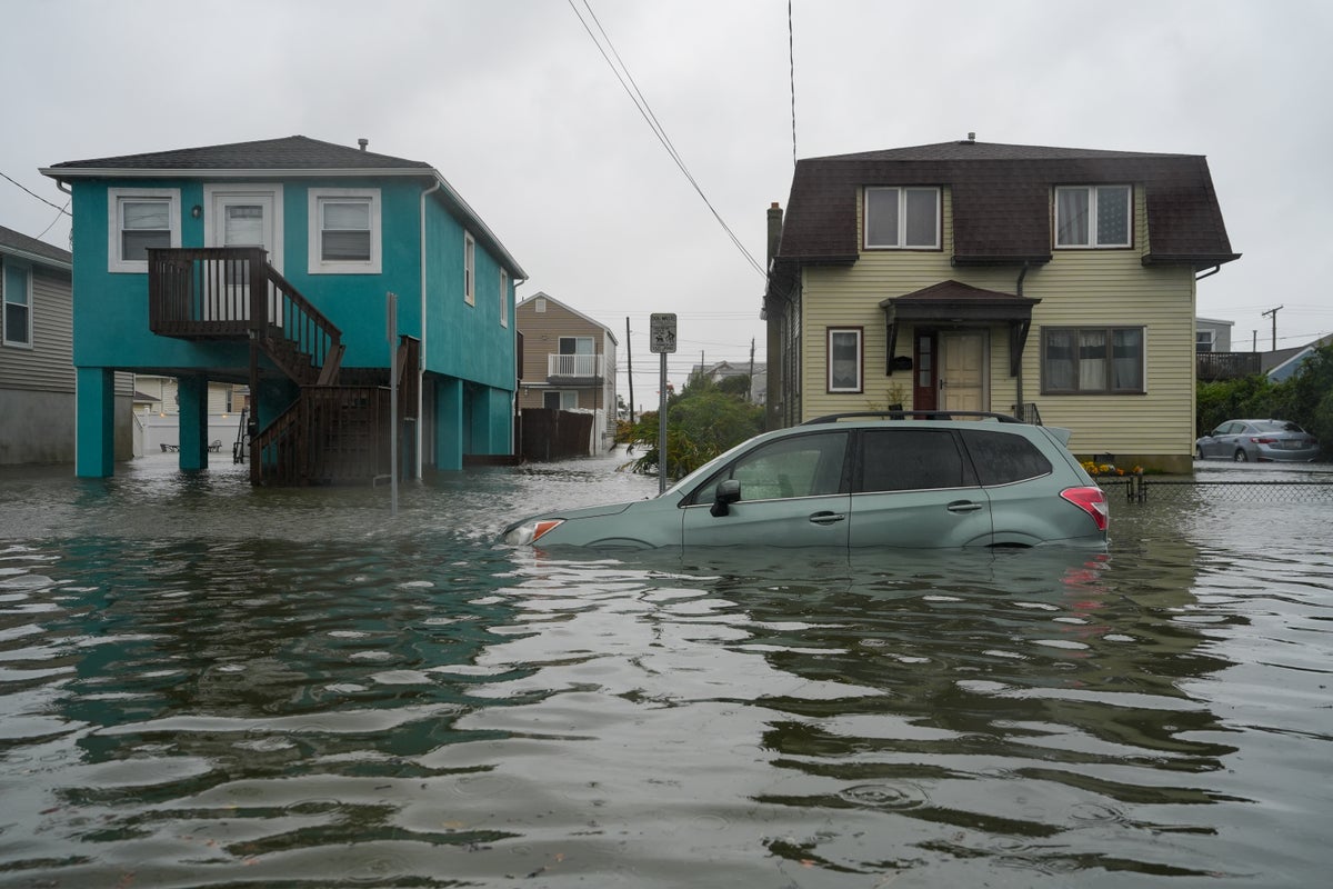
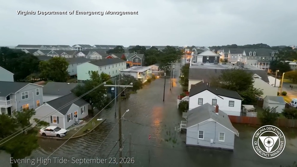
Tidal flood waters peaked at moderate flood stage late Friday and have begun to rise again ahead of high tide later Saturday morning around 8 a.m. as waves of 16 feet or more have been reported by buoys off the Jersey Shore and southern New England.
asserted
waves → peak → Shore
Coastal flood alerts remain in effect from eastern Virginia through southern Maine, including Virginia Beach, Philadelphia, New York City, New London, Connecticut, Providence, Rhode Island, and Boston.
asserted
alerts → remain → Beach
Wind advisories remain in effect from the Delmarva Peninsula up to eastern Massachusetts, including Dover, Delaware; Philadelphia; New York City; Hartford, Connecticut; and Worcester, Massachusetts, for winds gusting up to 45 mph.
High wind warnings are in effect for the Jersey Shore, as well as parts of Rhode Island and Massachusetts, including Boston, Providence and Atlantic City, for winds gusting up to 60 mph.
asserted
warnings → remain → mph
The winds can knock down trees and power lines.
asserted
winds → knock → trees
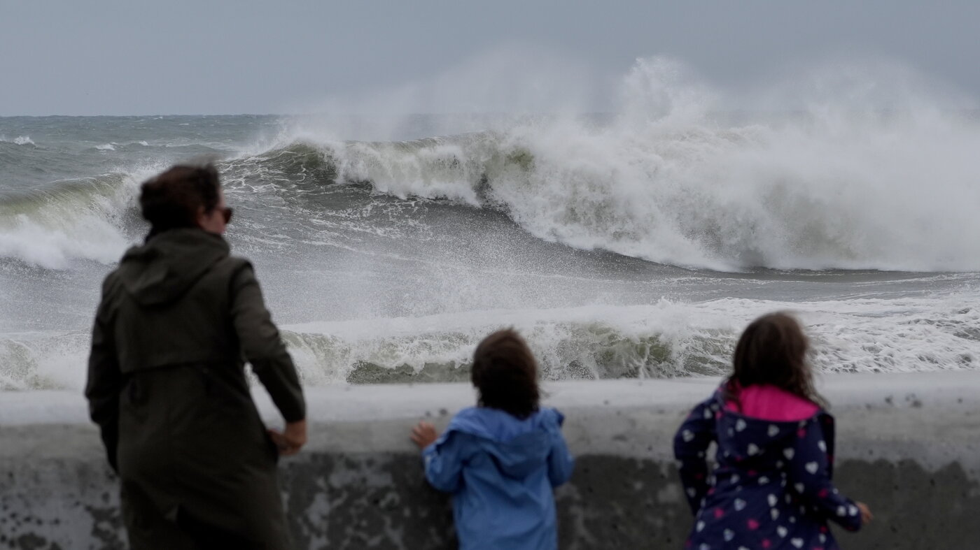
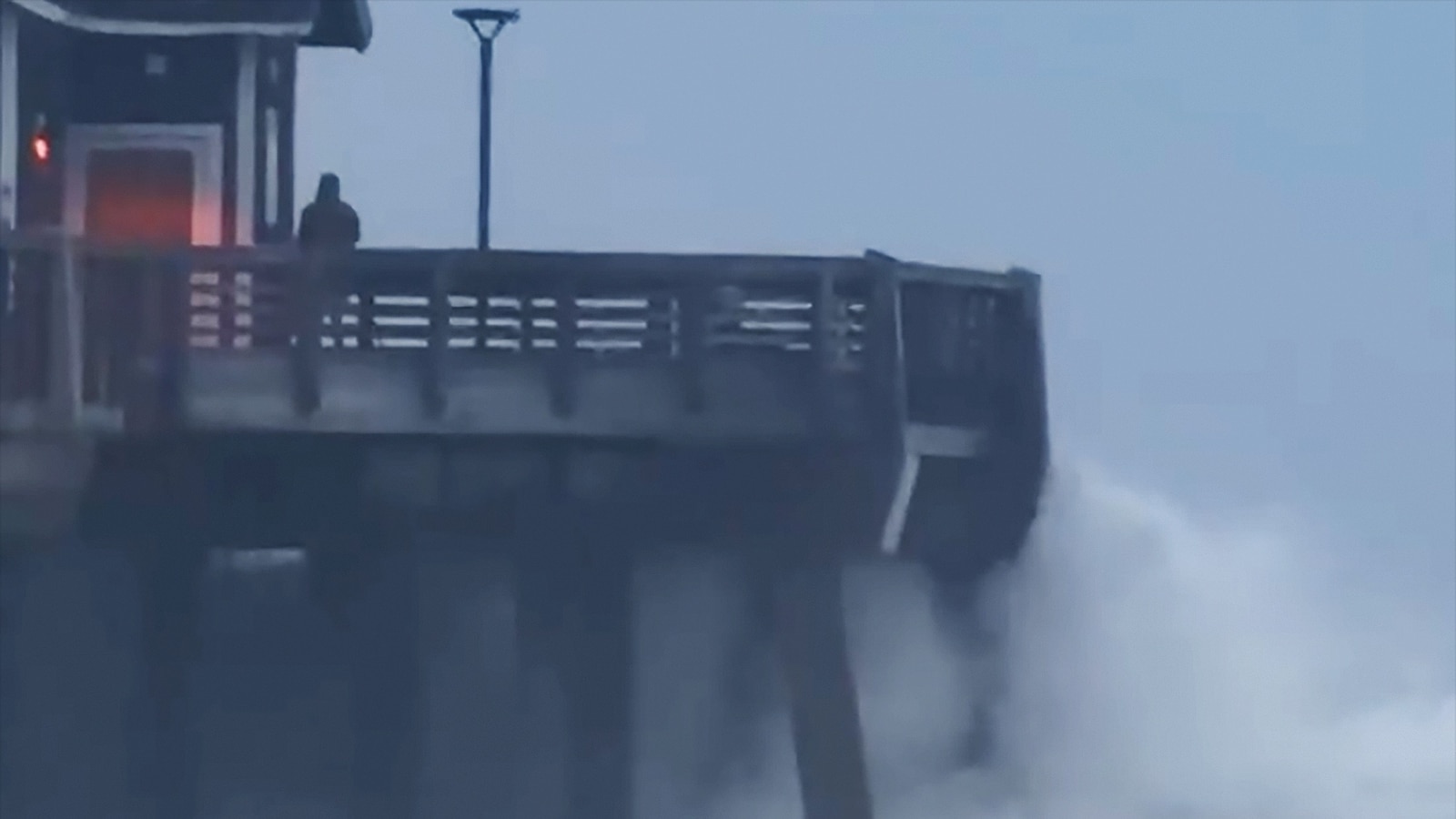
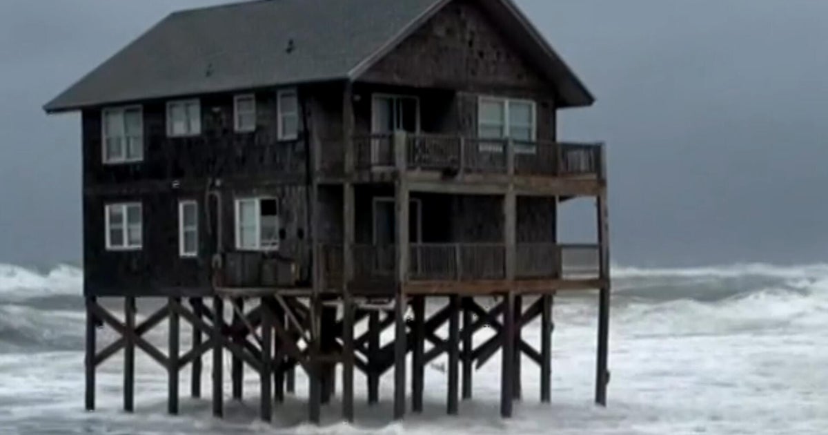
High waves of 6 to 12 feet or more will continue to pound the coastline from coastal Delmarva through the Jersey Shore, Long Island and southeastern coastal New England, producing widespread and potentially significant beach erosion and dangerous coastal conditions.
asserted
waves → continue → erosion
Timing the nor'easter and impacts
Very strong winds from the Jersey Shore to southeastern New England, with gusts of 50 to 60 mph or more, are expected on Saturday morning, along with rounds of heavy rain from Maryland to New Jersey and southern New York.
asserted
winds → time → Jersey
High tide around 8 a.m. could produce moderate to major coastal flooding from coastal Virginia to southern New England.
uncertain
tide → produce → England
On Saturday afternoon and evening, rounds of heavy rain and strong wind gusts will continue from Maryland to southern New York and begin stretching into southern New England.
asserted
rounds → continue → England
High tide around 9 p.m. could produce moderate coastal flooding, with some isolated major coastal flooding possible.
uncertain
flooding → produce → flooding
Overnight into Sunday morning, rounds of heavy rain and strong wind gusts will continue from Maryland to southern New England as several rounds of heavy rain will move through before sunrise, with isolated instances of inland flash flooding possible.
asserted
instances → continue → flooding
The nor’easter will continue to linger on Sunday but begin to break up and weaken.
asserted
nor’easter → continue → Sunday
Winds and rain will begin to lighten, though gusty winds and some heavier pockets of rain will remain possible with potential lingering impacts into Monday.
asserted
winds → begin → Monday
Rainfall totals will be widespread at 2 to 4 inches across the Northeast, with some of the highest totals reaching up to 6 inches from New Jersey to Boston.
asserted
totals → reach → Boston
Some inland flash flooding will be possible, especially in areas with poor drainage, where blown leaves can clog storm drains, or where the heaviest bands of rain move through.
asserted
bands → blow → rain
However, because the rain is falling over such a long duration, inland flash flooding will not be the most widespread threat as wind-driven rain could instead lead to power outages.
uncertain
rain → fall → outages
 The Aporia