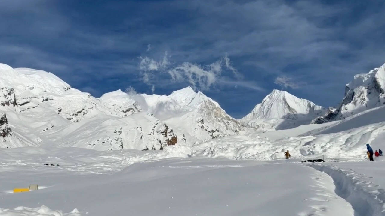
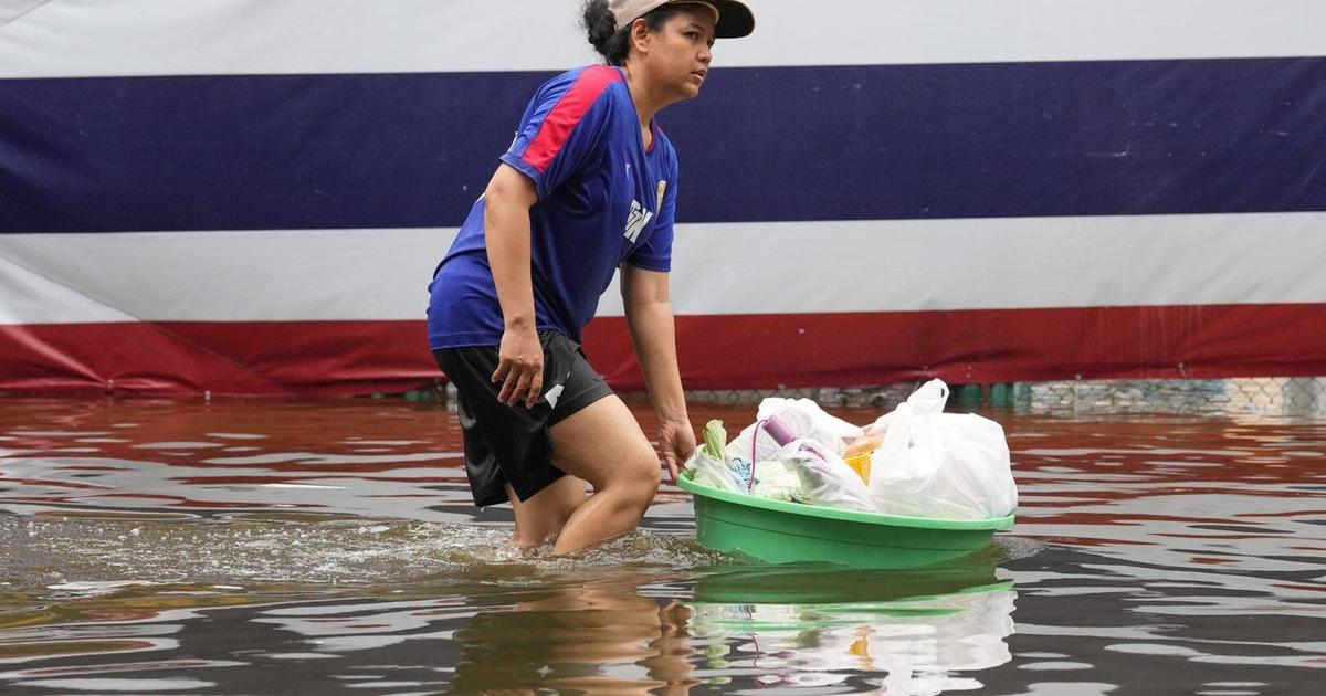
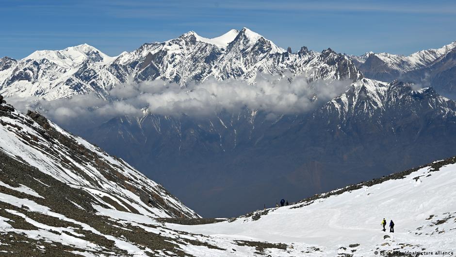
Relentless rainfall across Nepal since Thursday (September 24, 2026) has triggered fresh floods and landslips, swept away houses and disrupted road traffic, according to a media report, as the Himalayan country reels from the disaster that killed at least 1,453 people and more than 5,000 remain missing.
uncertain
5,000 → trigger → people
The bodies of 1,451 people have been recovered till Saturday (September 26, 2026) a month after flash floods, originating near the Nepal-Tibet border, devastated towns and villages in northern and central Nepal, according to the National Disaster Risk Reduction and Management Authority (NDRRMA).
uncertain
floods → recover → Authority
Two others had died while undergoing treatment.
asserted
others → die → treatment
A total of 13,795 people have been rescued till Saturday, the NDRRMA said.
asserted
NDRRMA → rescue → Saturday
In Rupandehi district, a part of Lumbini province, floodwaters from the Tinau River swept away six houses along the riverbank in Butwal on Saturday night as the river rose above its danger level, the Kathmandu Post newspaper reported.
asserted
newspaper → sweep → level
A police official was quoted as saying that around 200 houses along the riverbank in Butwal were at risk, with security personnel evacuating about 1,000 people overnight after the Tinau and nearby streams swelled amid continued rain.
asserted
Tinau → quote → rain
Authorities initially moved around 500 residents from Majhuwa, a high-risk area in Butwal Metropolitan City-13, to the Durga Temple holding centre, the report said.
asserted
report → move → centre
They were later transferred to safer locations, in various schools in Butwal-11.
asserted
They → transfer → Butwal-11
The Tinau River crossed its danger mark at around 8 pm on Saturday, prompting security personnel to begin rescue and evacuation operations.
asserted
River → cross → operations
ALSO WATCH A month after Nepal’s deadly flash floods, what should recovery look like? |
asserted
recovery → watch → what
Climate Economy
Rivers cross danger levels
asserted
Rivers → cross → levels
The Rupandehi district administration has urged people living near rivers and streams to remain alert and move to safer areas if water levels rise further.
asserted
levels → urge → areas
In Chitwan district of Bagmati province, the Narayani River and the Riu stream crossed their danger levels early on Sunday as rain continued.
asserted
rain → cross → Sunday
At the Devghat gauge station, the Narayani River reached 9.23 metres at around 5.15 a.m., according to the Department of Hydrology and Meteorology.
uncertain
River → reach → Hydrology
The Riu, which flows along the boundary of Madi and Chitwan National Park, reached 3.92 metres.
asserted
which → flow → metres
Its warning level is 3.4 metres, and its danger level is 3.8 metres, the Kathmandu Post reported.
asserted
Post → report → ?
The Riu flows through southern Chitwan before joining the Rapti River near Meghauli and eventually draining into the Narayani.
asserted
Riu → flow → Narayani
Heavy rain has also triggered landslips and mudslides at several points in Chitwan, disrupting road traffic.
asserted
rain → trigger → traffic
At Dharapani in Ichchhakamana Rural Municipality-4, part of the road subsided further, and a mud-laden landslip blocked traffic in both directions, a police official said.
asserted
official → subside → directions
A landslip at Simaldhara in the same municipality has also blocked the road in both directions.
asserted
landslip → block → directions
Flood and landslip risks also remain high in Karnali, where river levels have continued to rise.
asserted
levels → remain → Karnali
The Thuli Bheri River in Dolpa had reached 3.46 metres, just below its 3.56-metre warning level and 3.76-metre danger level, with the water level still rising.
asserted
level → reach → level
In Humla, the Karnali River at Sarkegad stood at 2.74 metres, below its 4-metre warning level, but was rising.
asserted
River → stand → level
The Mugu Karnali stood at 5.1 metres, below its 7.5-metre warning level and 9-metre danger level, with the water level rising.
asserted
level → stand → level
A landslip has blocked the Nagna-Gamgadhi road at Jharikhola in Mugu, the report said.
asserted
report → block → Mugu
In Kalikot, a mudslide at Gagne Khola in Shubhakalika Rural Municipality-1 has blocked the Karnali Highway.
asserted
mudslide → block → Highway
The Tila Karnali there stood at 3.27 metres, below its 5-metre warning level and 5.45-metre danger level, with the river level falling.
asserted
level → stand → level
Landslides have also disrupted traffic along the Karnali Corridor at Khaccha in Sarkegad-1, Gopchegauda in Kharpunath-1 and Yalwang in Namkha-4 in Humla.
asserted
Landslides → disrupt → Humla
In Jumla, water levels in the Tila Karnali and Sija rivers remained stable at 3.74 metres and 2.86 metres, respectively.
asserted
levels → remain → metres
With rain continuing, authorities across affected districts have urged residents in flood- and landslip-prone areas to remain alert and move to safety when necessary.
asserted
authorities → continue → safety
On Saturday, flooding from the Narayani and Saptakoshi rivers inundated 389 houses in Nawalparasi West and Saptari districts, forcing hundreds of families to move to safer locations.
asserted
flooding → inundate → locations
 The Aporia