 The Aporia
Maitem, J. (2026, October 2). What does Philippines seek with new Thitu map in South China Sea? South China Morning Post. https://www.scmp.com/week-asia/politics/article/3369510/what-does-philippines-seek-new-thitu-map-south-china-sea?utm_source=rss_feed
Maitem, Jeoffrey. “What does Philippines seek with new Thitu map in South China Sea?” South China Morning Post, 2 Oct. 2026, https://www.scmp.com/week-asia/politics/article/3369510/what-does-philippines-seek-new-thitu-map-south-china-sea?utm_source=rss_feed.
Maitem, Jeoffrey. “What does Philippines seek with new Thitu map in South China Sea?” South China Morning Post, October 2, 2026. https://www.scmp.com/week-asia/politics/article/3369510/what-does-philippines-seek-new-thitu-map-south-china-sea?utm_source=rss_feed.
Dated when The Aporia collected the article, usually within hours of publication. Check the original for its exact date and byline.
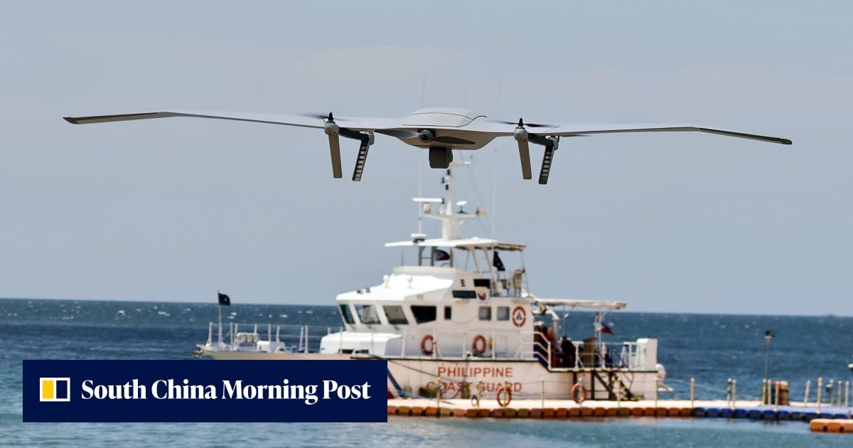
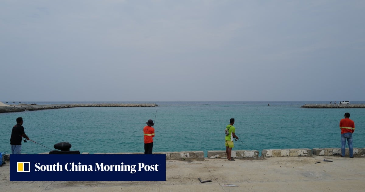
Philippines recently released a new map of Thitu Island, also known as Pagasa, in the South China Sea to clarify its territorial claims. The map includes coordinates, charts of water depths and island contours around Thitu, Lawak, and other parts of the Kalayaan island group that remain above water at high tide. According to Presidential Assistant for Maritime Concerns Andres Centino, the aim is to reduce legal ambiguity over these areas rather than establishing sovereignty definitively. Experts suggest this move will enable Manila to identify and challenge competing claims more precisely in legal terms without actually asserting sovereignty. The map serves as a formal documentation of the Philippines' presence and claim in the contested waters.